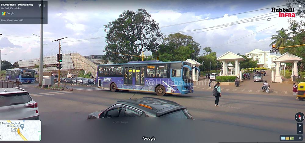
Google Street View, a feature by Google maps that allows one to get a visual representation of a street or any surroundings has finally made its way to Hubballi city.
As of now, the Street View is available to select parts of Hubballi city. It will be available to Dharwad soon. The area covered in Hubballi is as follows.
Hosur Cross to President Hotel, Parts of Unkal, Raj Nagar, Vishweshwar Nagar, Ashok Nagar, Bengeri, Vijay Nagar, Nrupatunga Betta, Kusugal Road, Lingaraj Nagar, Shirur Park, etc.

Google launched Street View in India on August 1st, 2022 with 10 cities. It is expected to reach 50 cities by the end of 2022.
As of now, the Streetview feature is available in Bengaluru (almost 100%), and parts of Tumakuru, Mysuru, Chitradurga, Davanagere, Hosapete, Bellary, Bagalkot, Vijayapura, Kalaburagi, Bidar, Raichur, etc.
How Google captures Street view? Step 1: Collecting Imagery: Google has dedicated vehicles that drive around and click 360° photographs of the locations.
Step 2: Aligning Imagery – To match each image to its geographic location, Google combines data from GPS, Speed, and direction to align the image perfectly to the location.
Step 3: Stitching 360° photos – To avoid gaps, Google takes slightly overlapping pictures and applies special image processing algorithms to lessen seams and create smooth transitions.
India had rejected the plans of Google to start street view over security concerns of sensitive defense installations. But India’s Geospatial policy helped Google to launch the feature in India.
Hope they also show the horrible roads and give credit to Prahlad Joshi.
Joshi and Deshpande are busy in cooking their own Food, so don’t ever expect the clean roads from them. Hubli is turning Bangalore in couple of years from now…
Pethetic roads in dharwad and hubli.. I request Prahlad Joshi to do something otherwise the image of twin city will be destroyed..
Yes correctly said